Measure Tool
Click on the measurement icon ![]() to open the measurement results panel.
to open the measurement results panel.
Click on the measuring tools to start measuring areas and line distances. 


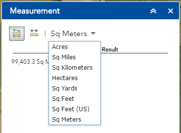
Choose from the drop down list to change the measurement units.
Start drawing your area / line and double click to finish, the measurement result will appear in the measurement tools window